Samcheong-dong(삼청동/三清洞) is a neighbourhood(‘-dong’) located between Gyeongbokgung Palace(경복궁/景福宮) and Bukchon Hanok Village(북촌한옥마을/北村韓屋村). The main street is dotted with a number of small art galleries, trendy boutiques, shops, cafes, and restaurants.
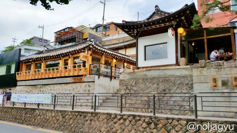
0. What to know before you go
- It is a nice place to visit for eating or taking a rest in traditional-style buildings.
- It is also a good place to stroll around. Prepare to walk a bit. (10 ~30 min walking)
- One of the popular neighbourhoods among young Koreans due to trendy shops, stylish cafes and restaurants in a traditional atmosphere.
- Not recommend you to come here before noon. Shops are normally not open in the morning.
- Don’t expect some must-see landmarks! There isn’t anything specific to see.
- Must visit Bukchon Hanok Village after this in order to see clusters of traditional houses!!! (1 hours walking)
- Actually, Samcheong-dong is just one of neighbourhoods of Bukchon(북촌/北村) area which means northern villages.
1. Directions
There are two pathways :
- If you want to visit this neighbourhood as a part of the Bukchon Hanok Village walking tour, then Route A will be the best for you. (Strongly recommended, 10 min walking)
- If you want to do a little shopping or eat somethings in this area, then Route B will be nice. (30 min walking)

(Click here to view the large image)
Starting Point : Samcheong Police Station
Now we are on the main street of Samcheong-dong neighbourhood, often called Samcheongdong-gil street(삼청동길,삼청동거리). You are able to see a small neighborhood police station, Samcheong Police Substation(삼청파출소/三清派出所), that is a good starting point of this Samcheong-dong tour (See in the Google Maps). Let’s Go!
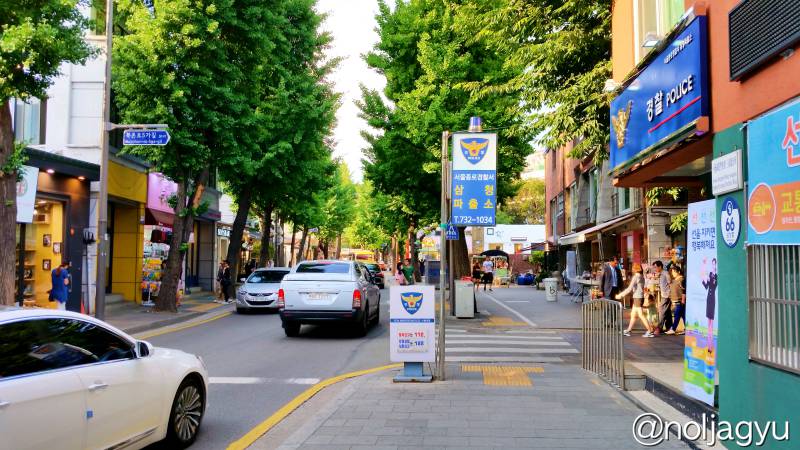
Getting a Tourist Map
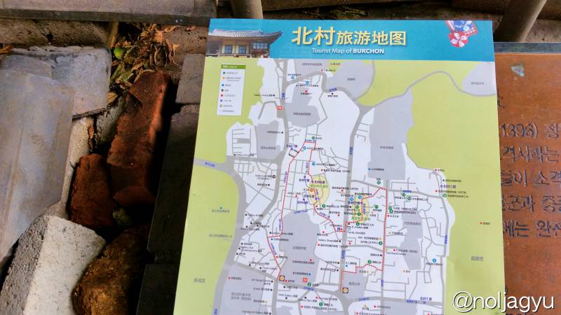
By the way, are you planning to go to Bukchon Hanok Village after this? Then, you MUST prepare a guide map! Very easy to get lost your way in the village. You can see a detailed map on the sign (shown below) at the corner of the police station. You can take a photo of the map on that sign or visit the police station to get a map!
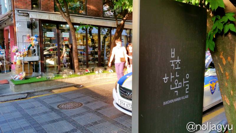
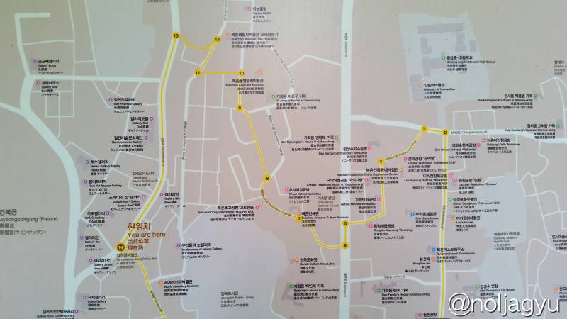
I’ve got a map from the police station, but written in Chinese. (hmmmmmm… I can’t read!!! Better go to a tourist information center)
Walk Slowly and Relax
Go straight, then you will get to the end point in 10 min. But, no need to be hurry.
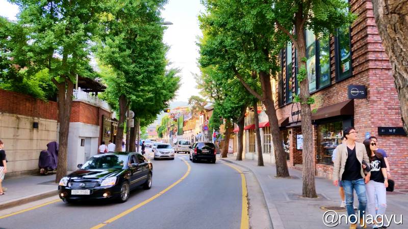
There are various shops, cafes, and restaurants in traditional-style buildings. And lots of Korean couples hanging around. Relax and take your time just like the couples!! You can do a little shopping, drink some coffee, or eat something…
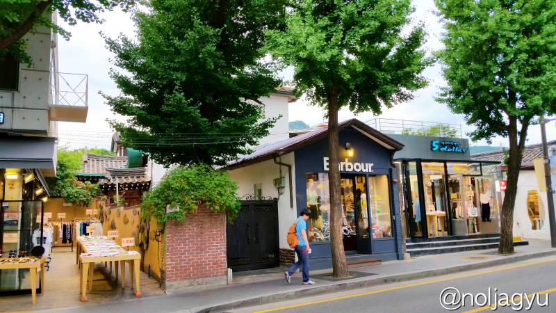
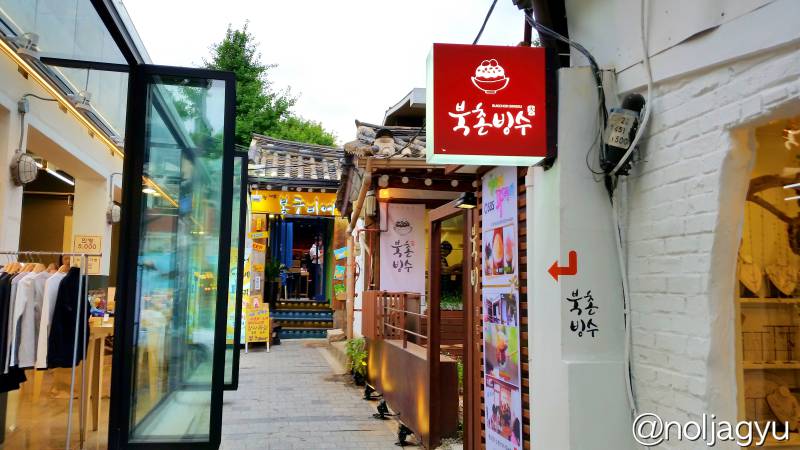
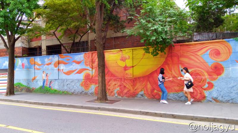
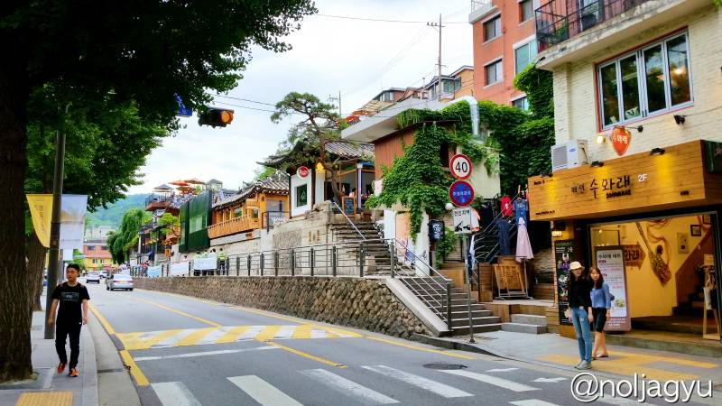
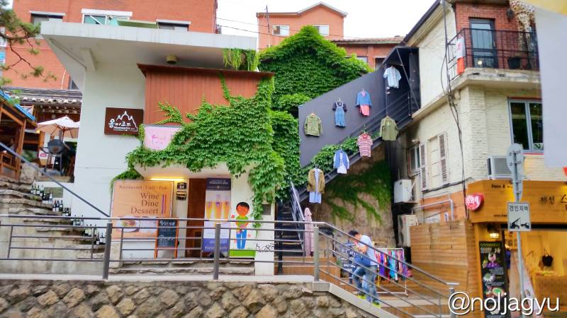
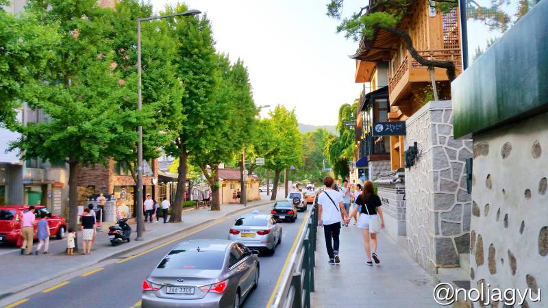
The buildings on this street are mixed with traditional and modern style.

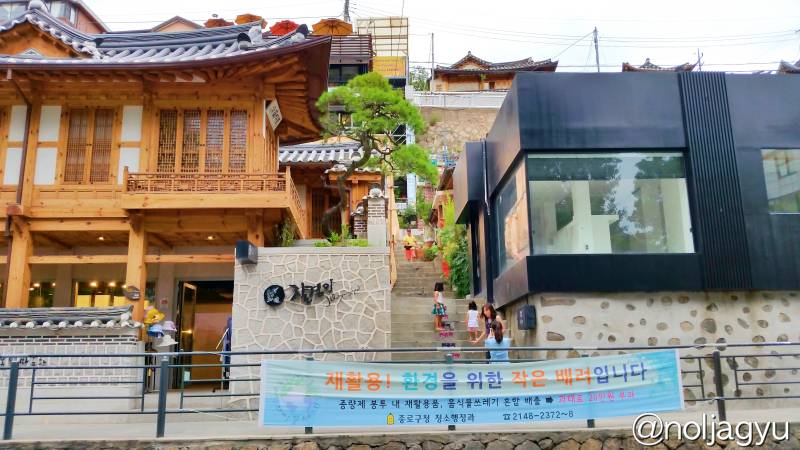
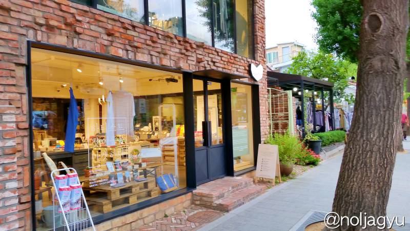
You can see the Prime Minister’s Official Residence(국무총리공관/国务总理公馆) on the way.
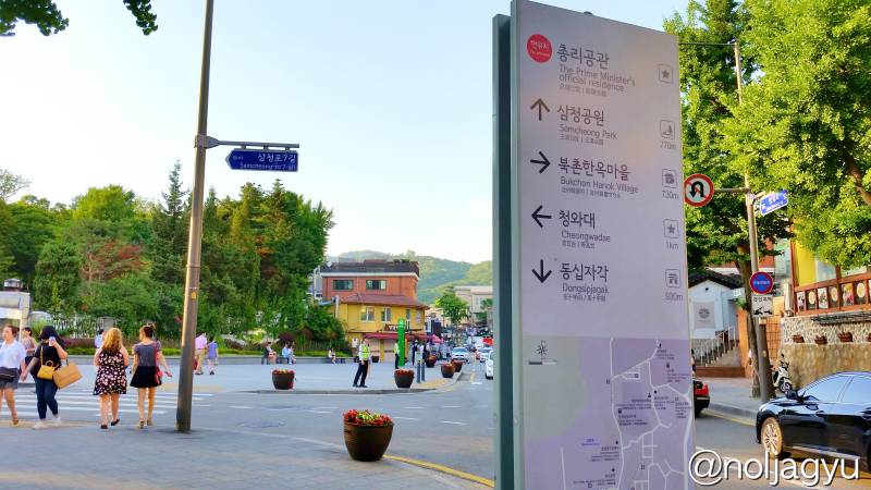
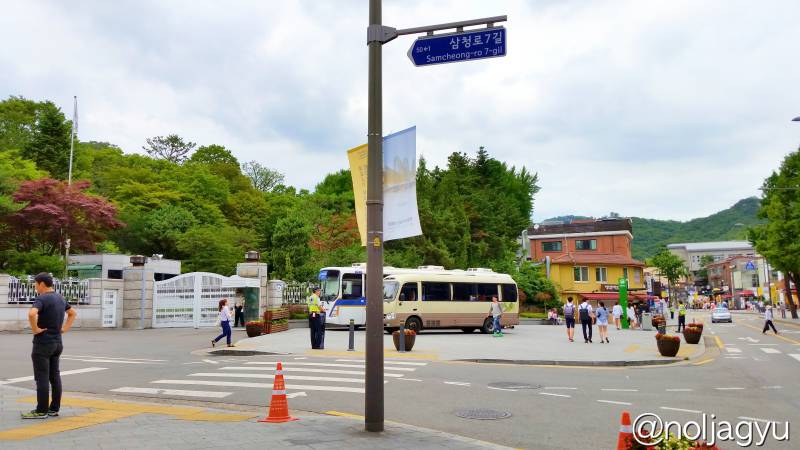
And you will be able to see a security checkpoint on the left at the junction. That is the way to the Blue House(청와대/Cheongwadae/青瓦台), the official residence and executive office of the President of the South Korea.
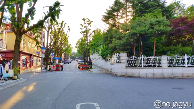
Anyway, go straight up along the main street! If you want to go to Bukchon Hanok Village, you need to look very carefully from here!
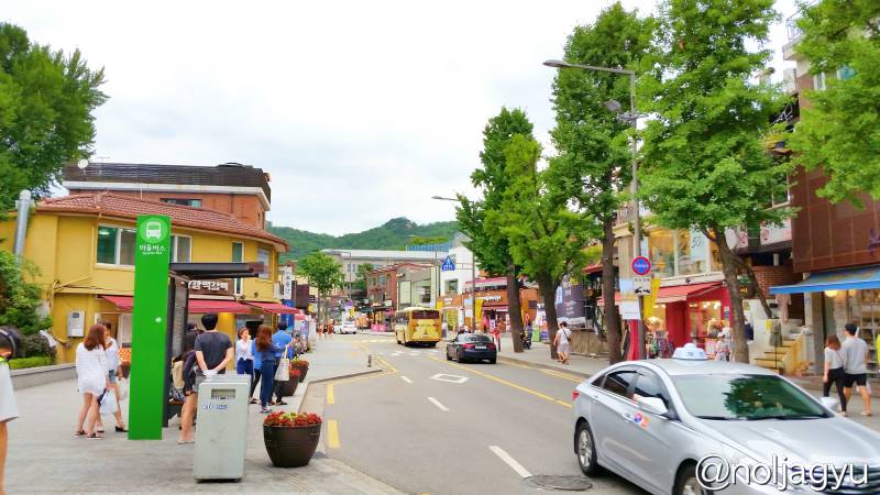
Route A. Heading to Bukchon Hanok Village?
(If you are not planning to go there, just skip this)
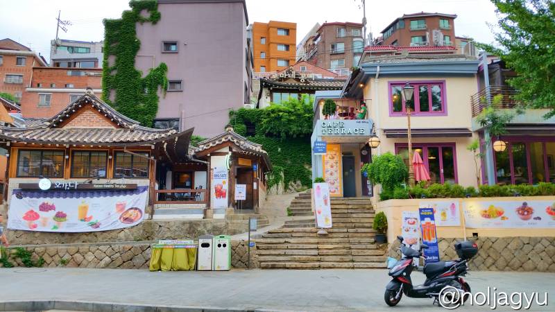
You will find the stone steps right next to the traditional-style tee house ‘오가.다(Ogada)’ on your right, shown in the picture below, before you get to the Innisfree Jeje House, Haagendazs, Coffee Beens, or Starbucks. (View in the Google Maps)
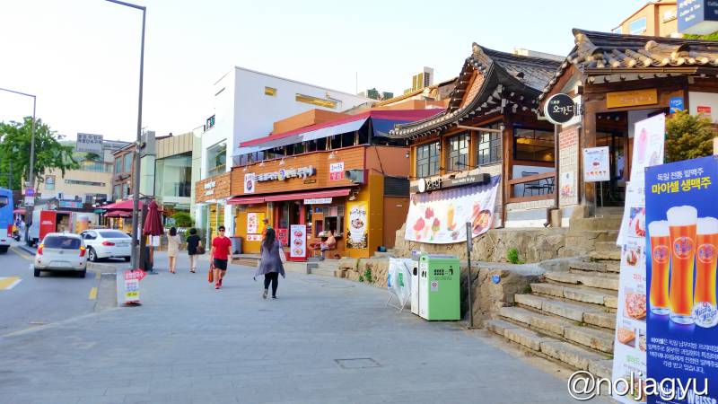
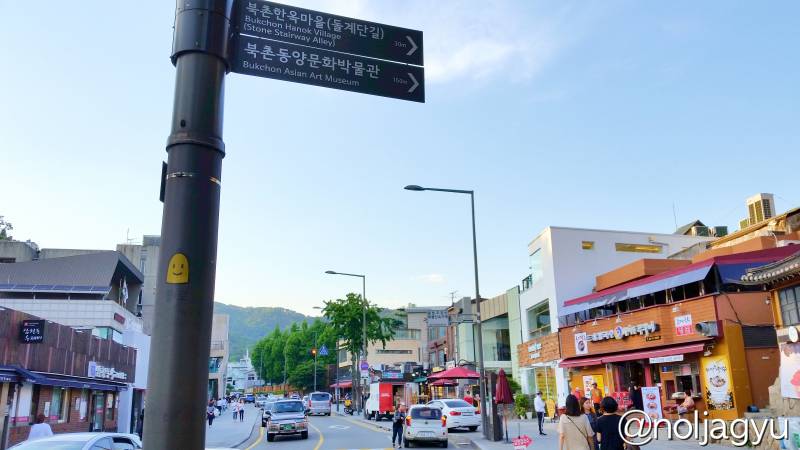
That is the way to the Bukchon Hanok Village. A new walking tour will be start from the Stone Stairway Alley(돌계단길/石阶路). Bukchon Hanok Village tour lasts for 30 min to an hour. You can see the ordinary Korean peoples lives in that village and traditional houses also. If you like, don’t hesitate to go up the stairs!
Have fun! (Next tour guide is coming soon)
Route B. Going Straight to Samcheong Park
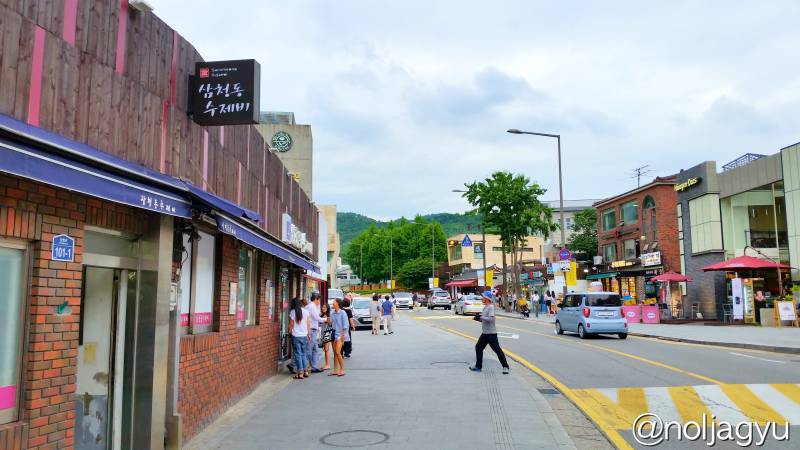
On the opposite side of the stone stair, you can see a small Korean restaurant ‘삼청동수제비(Samcheong-dong Sujebi)’, located next to the Coffee Been (shown in the picture below). For my mothers(or fathers) generation, this Samcheong-dong neighbourhood was well known because of that restaurant in 1990s. For me? hmmmm…..
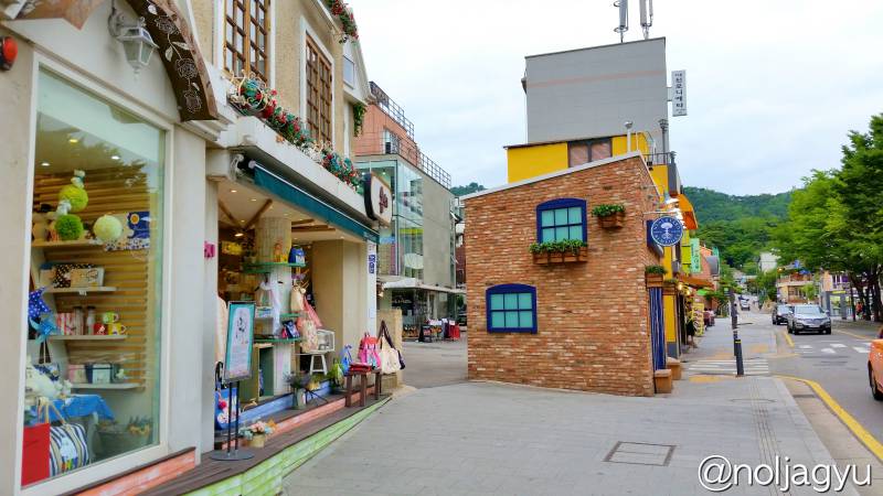
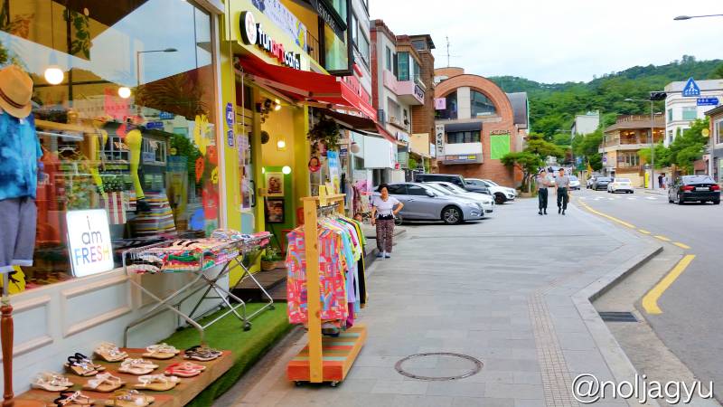
If you go further more along this main street, you can see small shops more and finally get to the Samcheong Park.
Turning Point : Samcheong Park
Now we arrived at the end point of this street (See in the Google Map). We don’t need to go more. Let’s get back to the starting point, the police station!
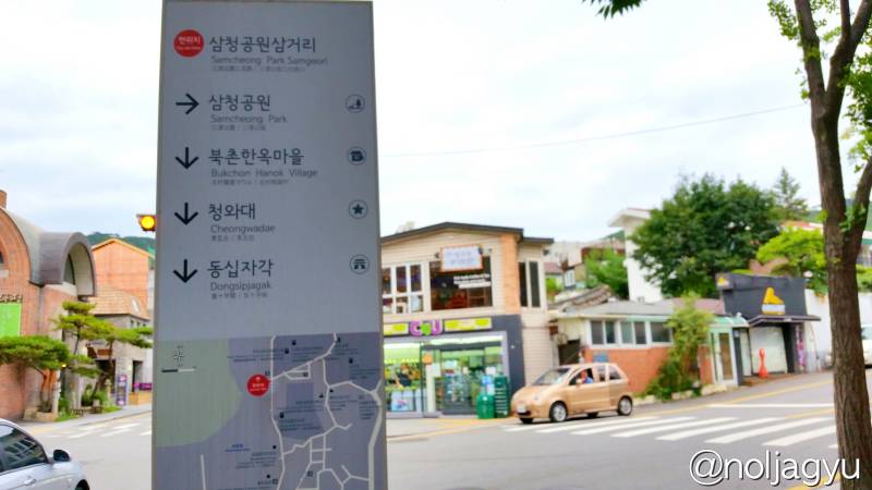
By the way, if you want to visit Samcheong Park(삼청공원/三清公园), turn right at this junction! You can climb a mountain in the park to see the Seoul city at the top of the mountain, and to see the Fortress Wall of Seoul(한양도성,서울성곽/首尔城墙). Actually, Not recommended for tourists. I will show you photos instead.
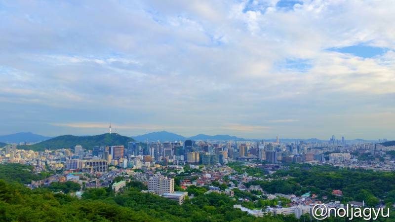
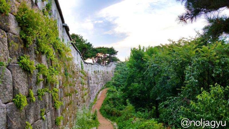
Enough? hahaha.. No need to climb, unless you live in Seoul.
Anyway, let’s go back!!! Walk along the main street again until you get to the Prime Minister’s Official Residence(국무총리공관/国务总理公馆).
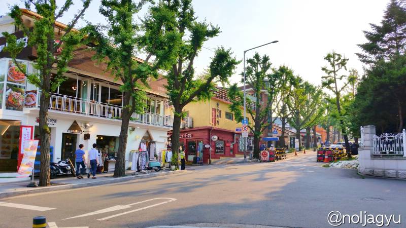
New Pathway : Palpan-gil Street
Of course, you can go back through the same way, the main street again. But, I don’t feel like!!! We need more things to see or eat!! Right?
Can you see a security checkpoint on the left side of the Prime Minister’s Official Residence?
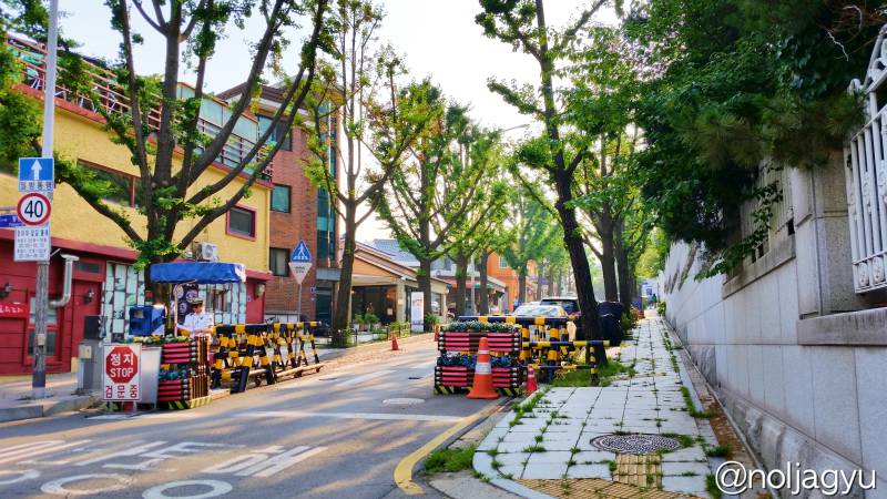
In front of the checkpoint, there is another pathway (shown below). We will go through that way!! (See in the Google Maps)
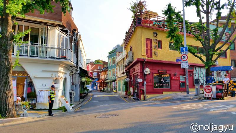
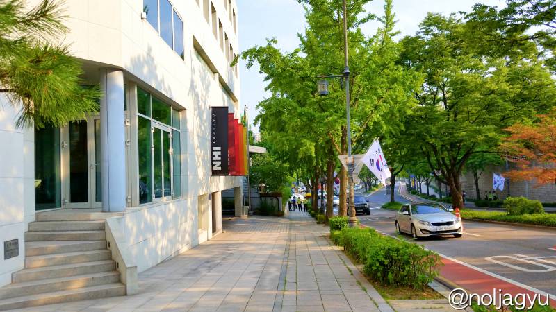
This street is not famous yet, but has name, Palpan-gil street(팔판길,팔판동). Go straight!
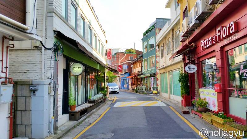
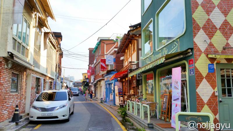
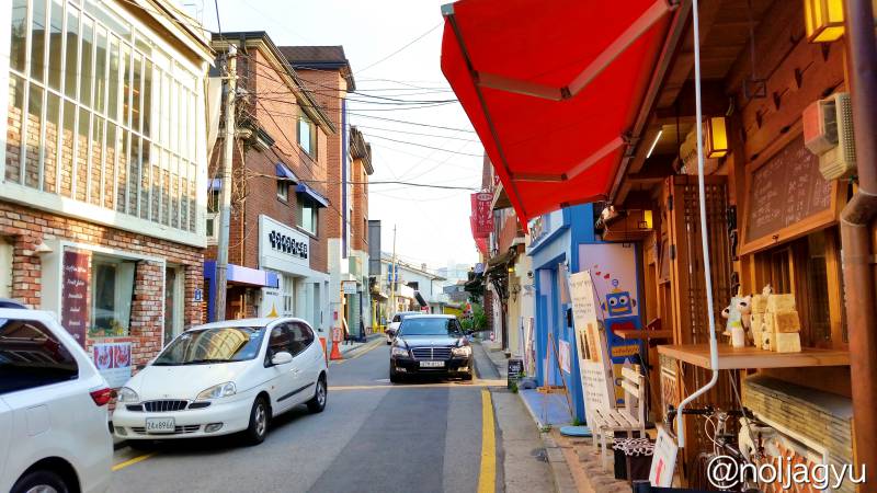
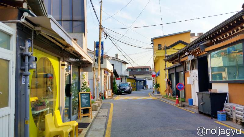
Keep going until the end of this street!
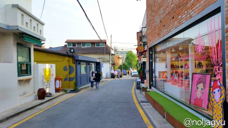
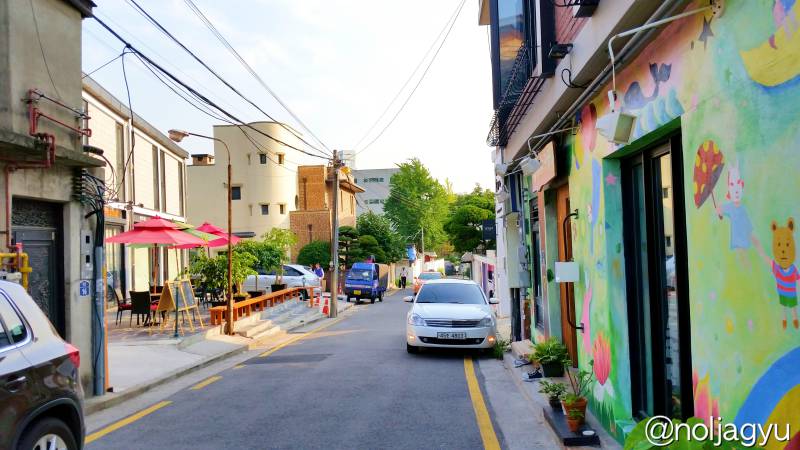
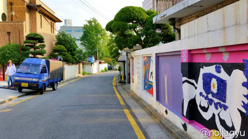
We can see another security checkpoint at the end of this road. And we can also see the National Folk Museum of Korea over the stone wall of Gyeongbokgung Palace.
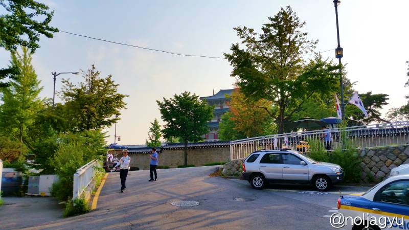
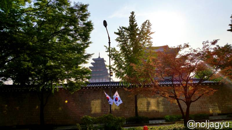
Turn left at the end of the road, and go straight again.
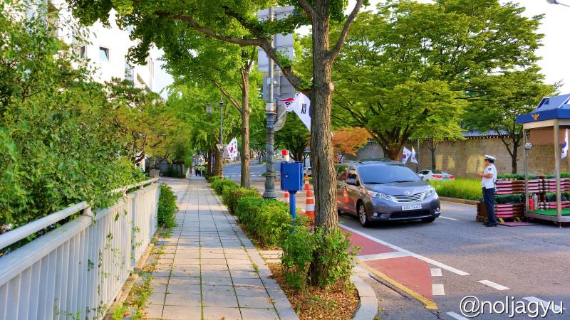
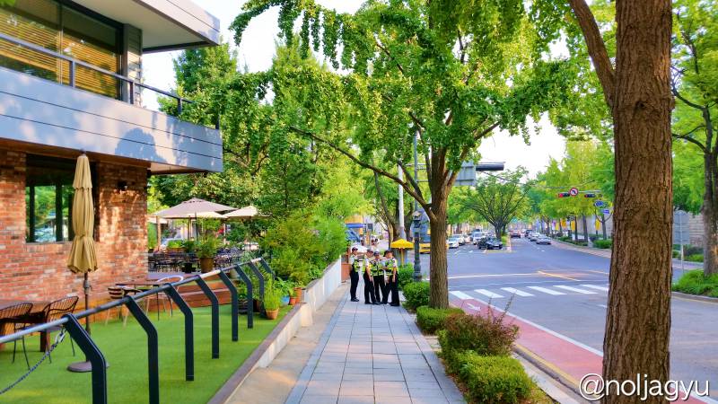
There are a lot of police officers hanging around here, because this area is very near to the Blue House(청와대/Cheongwadae/青瓦台). Don’t be afraid, they will not harm you!
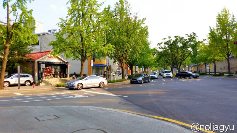
Final Destination
Across the street and turn left, then you will see the starting point, the police station.
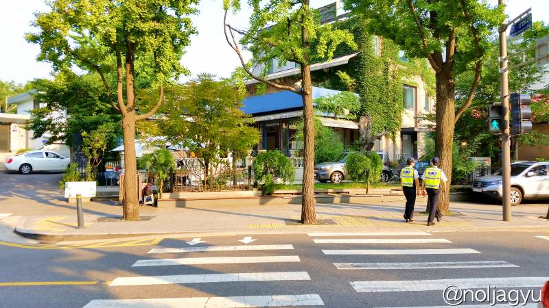
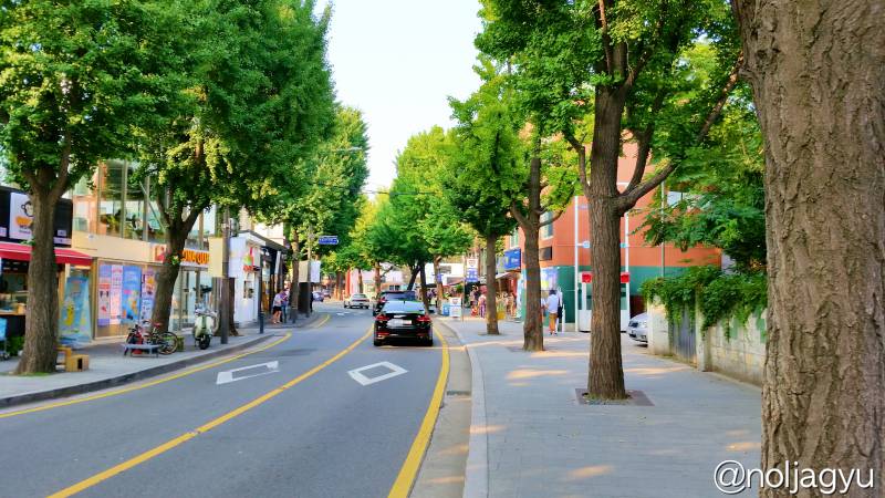

Congratulations!
Way to Insa-dong Neighbourhood
One more thing! At the corner of the police station, there is another pathway on your right. Nowadays, that street is also regarded as an extended part of Samcheongdong-gil street.
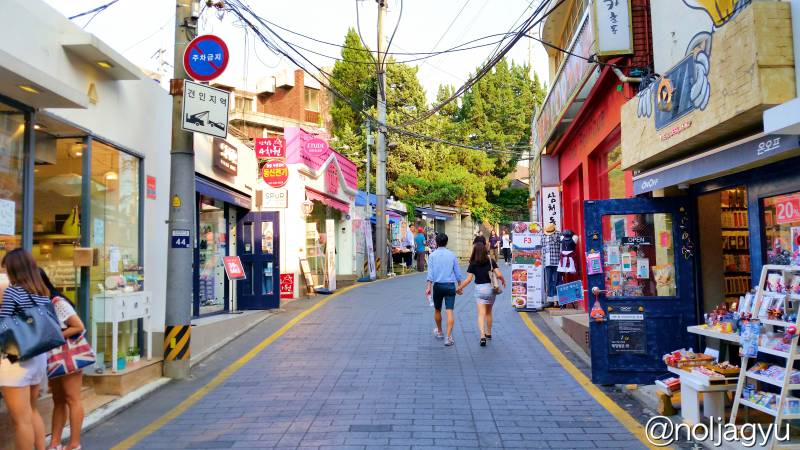
You can get to Insa-dong(인사동/仁寺洞) neighbourhood by passing through this way via Jeongdok Public Library(정독도서관/正讀圖書館) and Gamgodang-gil street(감고당길/感古堂路). (Nex tour guide is coming soon)
2. Location
Address : Samcheong Police Substation, 66 Samcheong-ro, Jongno-gu, Seoul, South Korea (See in the Google Maps)
3. How to Get There by Subway (Seoul Metro)
- Anguk station on Line 3, Exit 1 (15 min walking)
- Gyeongbokgung station on Line 3, Exit 5 (20 min walking)
- On Tuesdays, use Exit 4 instead of Exit 5, because Gyeongbokgung Palace is closed.
- Gwanghwamun station on line 5, Exit 9 (25 min walking)
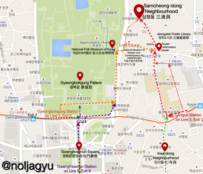
(Click here to view the large image)
For Tourists : I strongly recommend you to visit the Gyeongbokgung Palace before you come here!! If you have enough time, you can also visit the National Folk Museum of Korea on the way. (The palace and the museum is closed on every Tuesdays)
4. See Also
- Official Travel Guide : http://english.visitkorea.or.kr/enu/SH/whereToShop/whereToShop.jsp?action=about&cid=995817
- Tripadvisor Reviews : http://www.tripadvisor.com/Attraction_Review-g294197-d6656879-Reviews-Samcheongdong_gil_Road-Seoul.html
- Instagram Photos : #samcheongdong, #삼청동
5. Where are we going next?
(coming soon)
![[Seoul] Jongno > National Folk Museum of Korea (국립민속박물관/国立民俗博物馆) : Getting There](https://travel.hansnara.pe.kr/wp-content/uploads/sites/4/2015/07/NationalFolkMuseumMap-500x383.png)
![[Seoul] Jongno > National Folk Museum of Korea (국립민속박물관/国立民俗博物馆)](https://travel.hansnara.pe.kr/wp-content/uploads/sites/4/2015/06/batch_20150626_153126-500x383.jpg)
![[Seoul] Jongno > Gyeongbokgung Palace (경복궁/景福宮) : Getting There](https://travel.hansnara.pe.kr/wp-content/uploads/sites/4/2015/06/GyeongbokgungMap-500x383.png)
![[Seoul] Jongno > Gyeongbokgung Palace (경복궁/景福宮)](https://travel.hansnara.pe.kr/wp-content/uploads/sites/4/2015/06/batch_20150612_173946-500x383.jpg)